Monaco Area and Geography
Reference for Monaco area, geography, and territorial data: land area, districts, coastline, and urban planning.
Monaco Area and Geography
Monaco is the world's second-smallest country by area, after Vatican City. Its unique geography shapes the principality's development and characteristics. Geographic data is tracked by IMSEE (Institut Monégasque de Statistique et d'Études Économiques).
Land Area
Monaco's territory comprises:
- Total area — 2.02 square kilometers (approximately 0.78 square miles)
- Land area — Approximately 2.02 km², with minimal water territory
- World rank — Second smallest independent nation by area
- European rank — One of Europe's smallest sovereign states
- Population density — Results in approximately 19,300 persons per km²
The principality's small size contrasts sharply with its international significance and economic importance.
Land Reclamation History
Monaco's geography has been shaped by deliberate development:
- Historical expansion — Original settlement much smaller, expanded through planned development
- Port expansion — Harbor facilities extended through breakwater and pier construction
- Quarry district — Harbor expansion reclaimed land from marine areas
- Future projects — Ongoing studies for potential limited expansion into Mediterranean waters
- Environmental considerations — Expansion plans subject to environmental impact assessments
Coastline
Monaco's Mediterranean coastline features:
- Rocky coast — Dramatic cliffs in many areas typical of Côte d'Azur geography
- Beach areas — Limited sandy beaches suitable for bathing and recreation
- Harbor facilities — Natural deep-water port supporting maritime commerce and yacht services
- Waterfront access — Public areas and promenades along shoreline
- Protected status — Some coastal areas protected for environmental conservation
Elevation and Topography
Monaco's terrain shows:
- Highest point — Approximately 163 meters elevation above sea level
- Range — Elevation varies from sea level to local highlands
- Slope characteristics — Steep terrain in many areas, particularly toward harbor
- Development challenges — Steep slopes complicate building construction and infrastructure
- Terraced development — Buildings built on multiple levels following terrain
Geographic Borders
Monaco's borders consist of:
- Land border — Entirely surrounded by France (Provence-Alpes-Côte d'Azur region)
- Sea border — Mediterranean Sea to south and east
- Border length — Approximately 4.4 kilometers of land boundary
- Regional context — Located between Nice and Menton on French coast
- Border crossing — Free movement under Schengen Area agreements
Neighborhoods and Districts
Monaco's small area encompasses several districts:
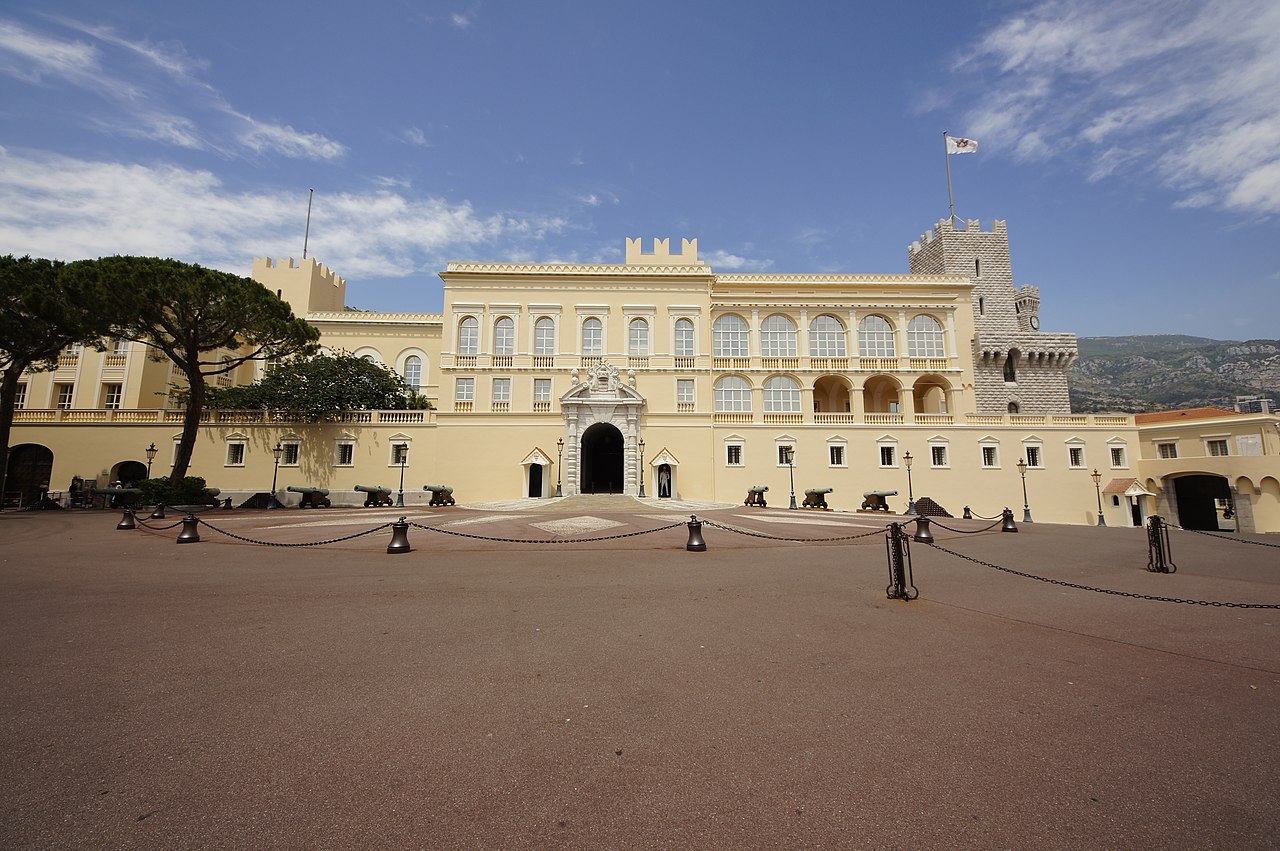
- Monaco-Ville — Historic old town and governmental center
- La Rousse — Waterfront area with marina and luxury developments
- Fontvieille — Newer district built on reclaimed land with residential and commercial development
- La Condamine — Port area and harbor district
- Moneghetti — Residential neighborhood with upscale apartments
- Jardin Exotique — Area named for botanical gardens with views
Climate Geography
Monaco's climate features:
- Mediterranean climate — Mild winters and warm, dry summers
- Temperature range — Winter lows around 8°C, summer highs around 26°C
- Precipitation — Moderate rainfall concentrated in autumn and spring
- Sunshine hours — Abundant sunshine throughout year, particularly summer
- Wind patterns — Mistral winds from northwest occasionally affect region
Environmental Geography
Geographic environmental characteristics:
- Sea level concerns — Rising sea levels present long-term challenge for coastal principality
- Marine environment — Mediterranean biodiversity including fish, cetaceans, and seabirds
- Protected areas — Botanical gardens and protected marine zones for conservation
- Pollution sources — Limited industrial activity; main concerns from maritime traffic and tourism
- Climate change — Rising temperatures and changing precipitation patterns affect region
Strategic Location
Monaco's geographic position offers:
- Mediterranean hub — Central location on major Mediterranean trade and tourism routes
- French proximity — Close ties to France; majority of workforce from France
- Italian nearness — Near Italian border with some cross-border commerce
- Port advantages — Natural harbor supports maritime commerce and yacht services
- European access — Gateway to wider European markets via French infrastructure
Data Sources
For detailed geographic information:
- IMSEE geographic and area statistics
- Monaco government geographic publications
- International geographic databases and maps
- UNESCO and environmental organization reports
- Cartographic and surveying data sources
IMSEE maintains official geographic records and publishes geographic data relevant to planning, research, and administration.
The information provided is for general guidance only. For official procedures, always consult the official sources.
Related pages
See all guidesMonaco Monaco Economy Data
Key economic data for Monaco: GDP, business statistics, employment figures, and economic indicators from IMSEE.
Monaco Population Statistics
Population statistics for Monaco: demographics, nationalities, residents, and census data from IMSEE.
Monaco Real Estate Market Data
Real estate market data for Monaco: property prices, transaction volumes, and market trends from the IMSEE Real Estate Observatory.
Monaco Tourism Statistics
Tourism statistics for Monaco: visitor numbers, hotel occupancy, seasonal trends, and tourism revenue data from IMSEE.